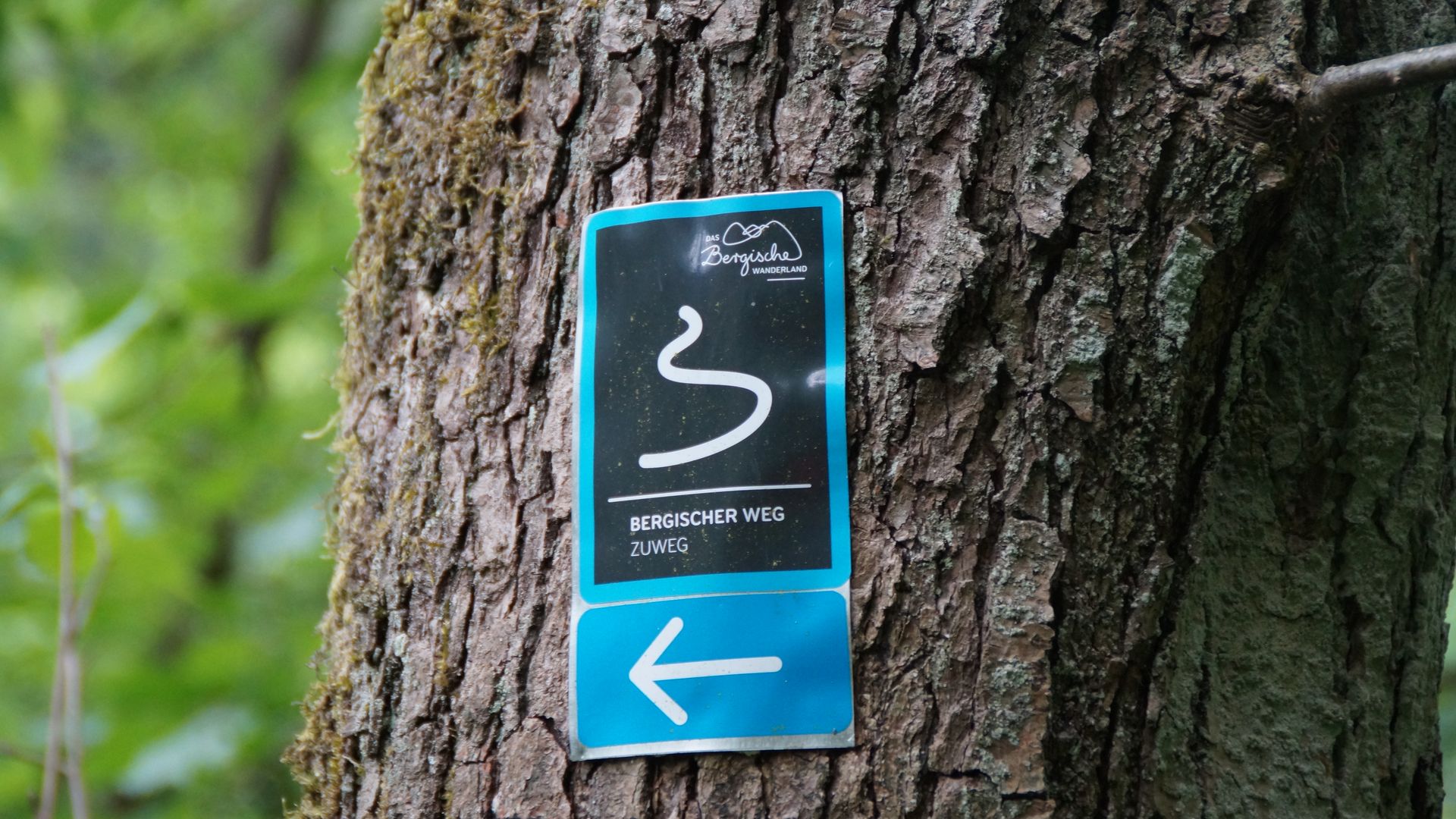
The access routes show you the way to The Bergische Weg (Bergisch Trail),. Most of these begin in town centres, at train stations or at sights. The maps and GPX data for the individual access routes can be found on the page for the respective stage.
The connecting routes give you the option of combining the Bergische Weg (Bergisch Trail) and the Bergische Panoramasteig (Bergisch Panorama Trail). There are two fantastic routes for doing this:
- The north connecting route runs from Burscheid/Odenthal for approx. 14.4 km through the Eifgenbachtal valley to Wermelskirchen-Dhünn.
- The south connecting route runs for approx. 24.3 km from Much via Ruppichteroth to Waldbröl-Geilenkausen. The connecting routes are marked in both directions with blue signs.
The connecting paths have blue markings in both directions. In some places, the Bergischer Weg also runs parallel to the Neanderland STEIG (Mettmann District) and the Natursteig Sieg (Rhein-Sieg District).

![Markierungszeichen Verbindungsweg Bergischer Weg - Bergischer Panoramasteig [Translate to English:] Markierungszeichen Verbindungsweg](https://www.bergisches-wanderland.de/fileadmin/_processed_/7/9/csm_20170205_Eifgenbachweg_MPU__6__9ede4901f2.jpg)
![Wegweiser Bergischer Weg [Translate to English:] Wegweiser Bergischer Weg](https://www.bergisches-wanderland.de/fileadmin/_processed_/1/f/csm_DSC09170_6cb7f868bb.jpg)
![Markierungszeichen Zuweg Bergischer Weg [Translate to English:] Zuweg Bergischer Weg](https://www.bergisches-wanderland.de/fileadmin/_processed_/b/e/csm_DSC09199_5b5f77d12d.jpg)